Now the weather has cooled down a little we have been getting out for some walks.
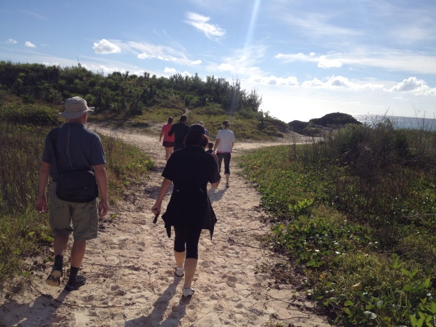
The most important was the PKD walk along South Shore beaches to raise money for research into Polycystic Kidneys. I hear there are 17 families with ADPKD on the island which places quite a demand on the island’s renal services. it was the first walk for PKD that I have done, but won’t be the last – they happen in UK as well. Beautiful weather, friendly company and not too long – brilliant for first walk of my walking season.
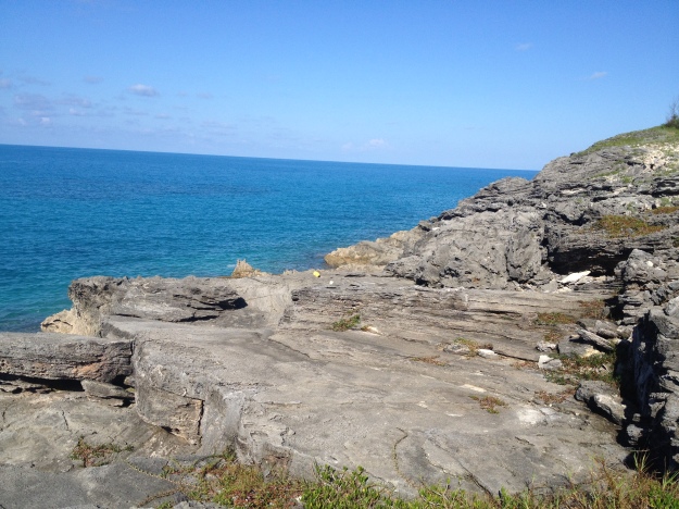
Our next walk was Coopers Island, the old NASA observation station at the end of St David’s Island. On a Sunday afternoon we found it deserted, had the beach to ourselves.
This is all for a purpose – my walking boots are coming out from under the bed back home. So I need some practice. One of my Bermuda friends who “went back home” earlier this year has begun walking around the coast of Britain – in stages over time, she’s not completely nuts – and as I may have said before in this blog, I am competitive – so if she can do it then so can I ….. (might live to regret saying that)
Last weekend we continued the East End explorations and started at Ferry Point. This is where the ferry took people from St George’s across to the mainland before the causeway was built in 1871. The gap between Ferry Point and Coney Island was bridged by the Railway Line in the 1940s but today it is rough parkland surrounding ruins of 3 forts and one impressive Martello Tower, built in 1820s by a Major Thomas Blanchard. Apparently it was restored in 2008 and for a period was open to the public – sadly no longer so.
We took the path from Whalebone Bay keeping close to the edge of the bay itself, an overgrown footpath coming off the Railway Trail.

Despite having fallen in the hurricane, the casuarina tree stubbornly grows in a sideways reorientation
The military cemetery to the side of the trail – 18 graves of soldiers from the Second Battalion of the Queen’s Royal (West Surrey) Regiment. That regiment was first raised in 1661 to protect Tangiers, becoming one of the senior regiments in the British Army. The regimental history doesn’t say what they were doing in Bermuda in 1860s, but sadly they fell to the outbreak of yellow fever in 1864.
The above exert from the Royal Gazette digital archives made me curious – not the commentary on the epidemic, but the sentence that follows – what, exactly, is a “Day of General Humiliation”? Google comes up with Queen Victoria calling for Wednesday 7th October 1857 to be a day of general humiliation to pray for “tranquility in India” . So it is a day of prayer, “humbling”. It seems early humiliation days were accompanied by fasting and penitence, but later ones seem to have morphed into thanksgiving type of celebrations. I cannot find out at all why they had one in Bermuda on August 30th, 1864. It was not yet the end of the epidemic, there were no wars or battles in close proximity, it is not a current national holiday – could it have been a late recognition of Emancipation Day which is more commonly held at the beginning of August?
Lovers Lake is further along the trail, a land-locked brackish pond some 400 by 200 feet. It is fed by subterranean channels from the ocean and so the level of saltiness is variable. Despite the low oxygen content of the water there is here a specific, and protected, species of Killifish found only in this pond – Fundulus relicts.
So that was last week. Tomorrow we are heading out to Dockyard, the west end of the island. I’ll let you know how we get on.


